


| Northwest Couloir (Pfeifferhorn) | |
|---|---|
| Terrain | Chute |
| Drainage | Hogum Fork |
| Ascent Vertical | 3,900' |
| Skiing Vertical | 900' |
| Location | 40.5336° / -111.7068° |
| Online Map | View on wbskiing.com |
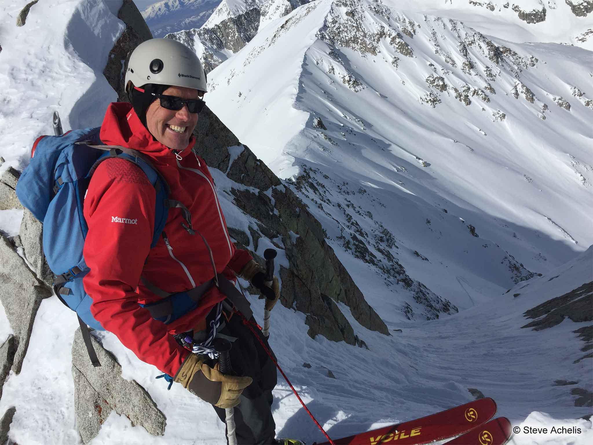
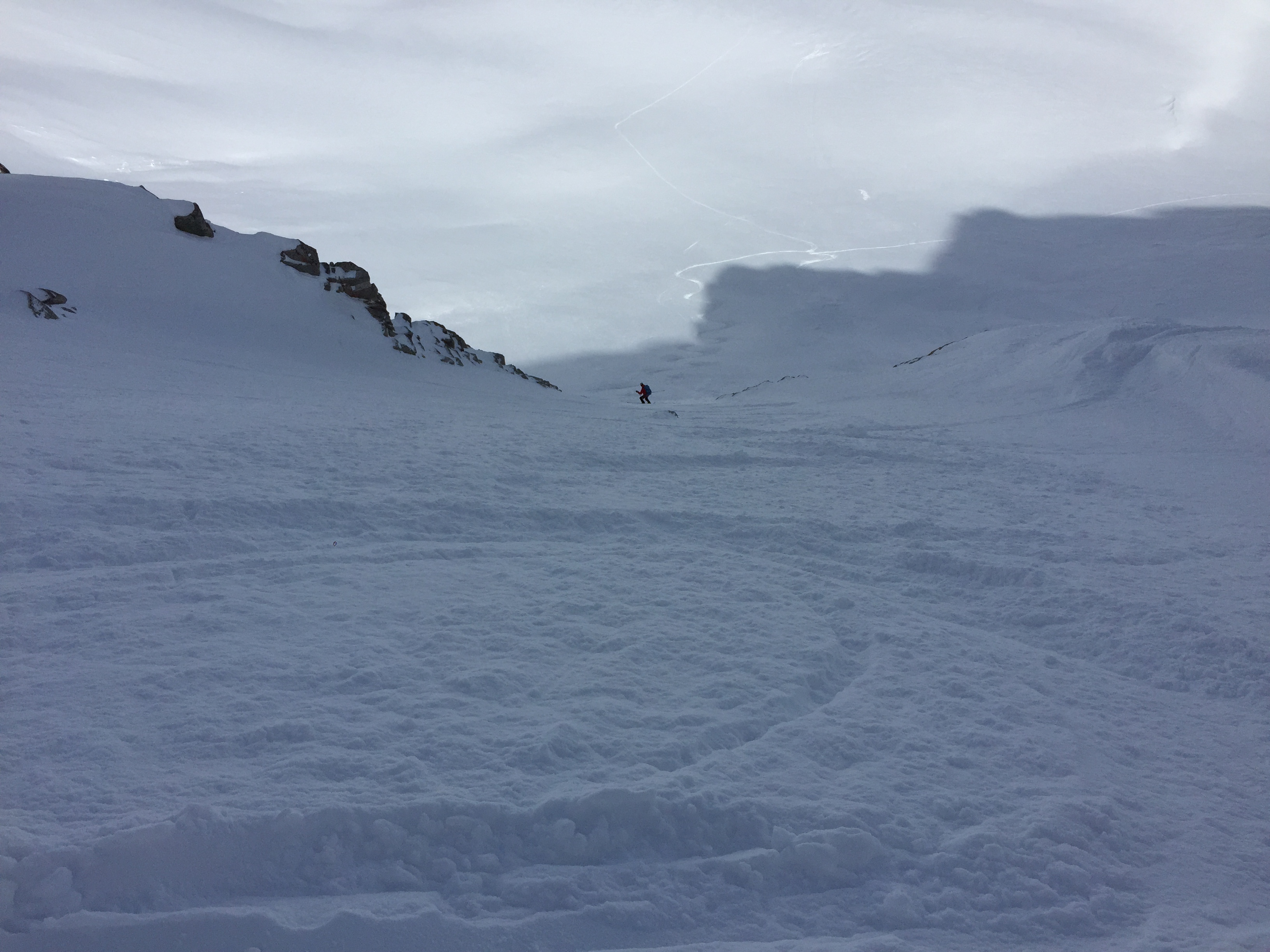
The Northwest Couloir is a challenging "run" off of the 11,326 foot Pfeifferhorn. If the 50° entrance doesn't spook you, the rocky pinch in the middle should.
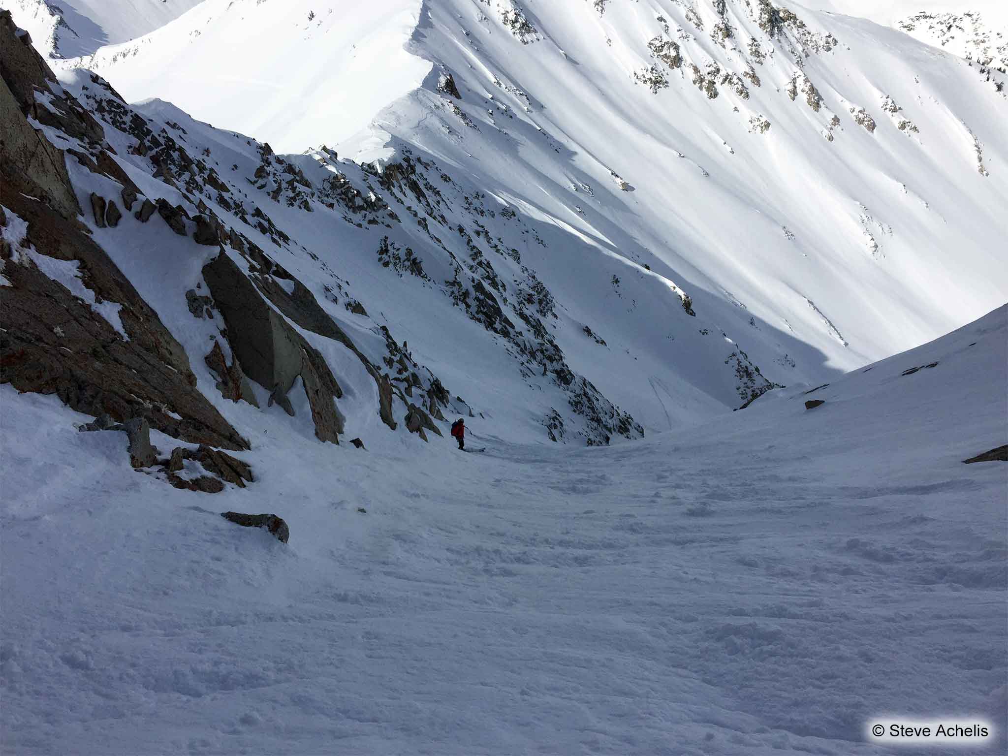
The entrance to the couloir is just to the west of the Pfeifferhorn summit. It's steep (~50°) and can require side-slipping, and stepping, over rocks. The next few hundred feet are a relatively gentle (ha!) 45°.
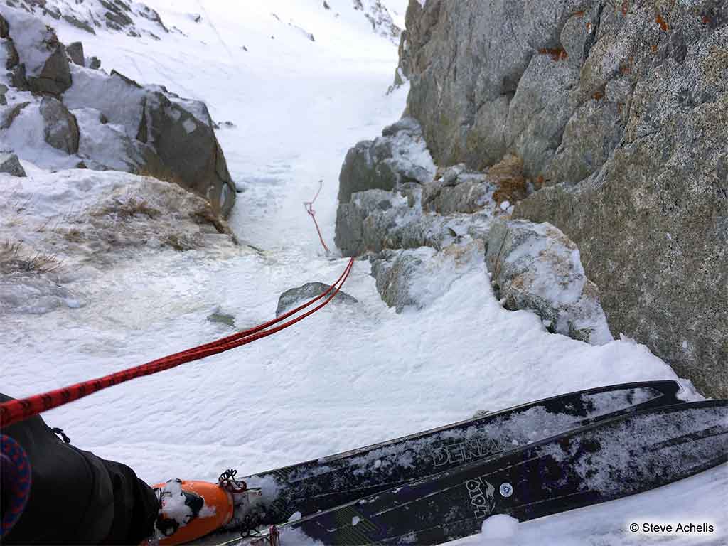
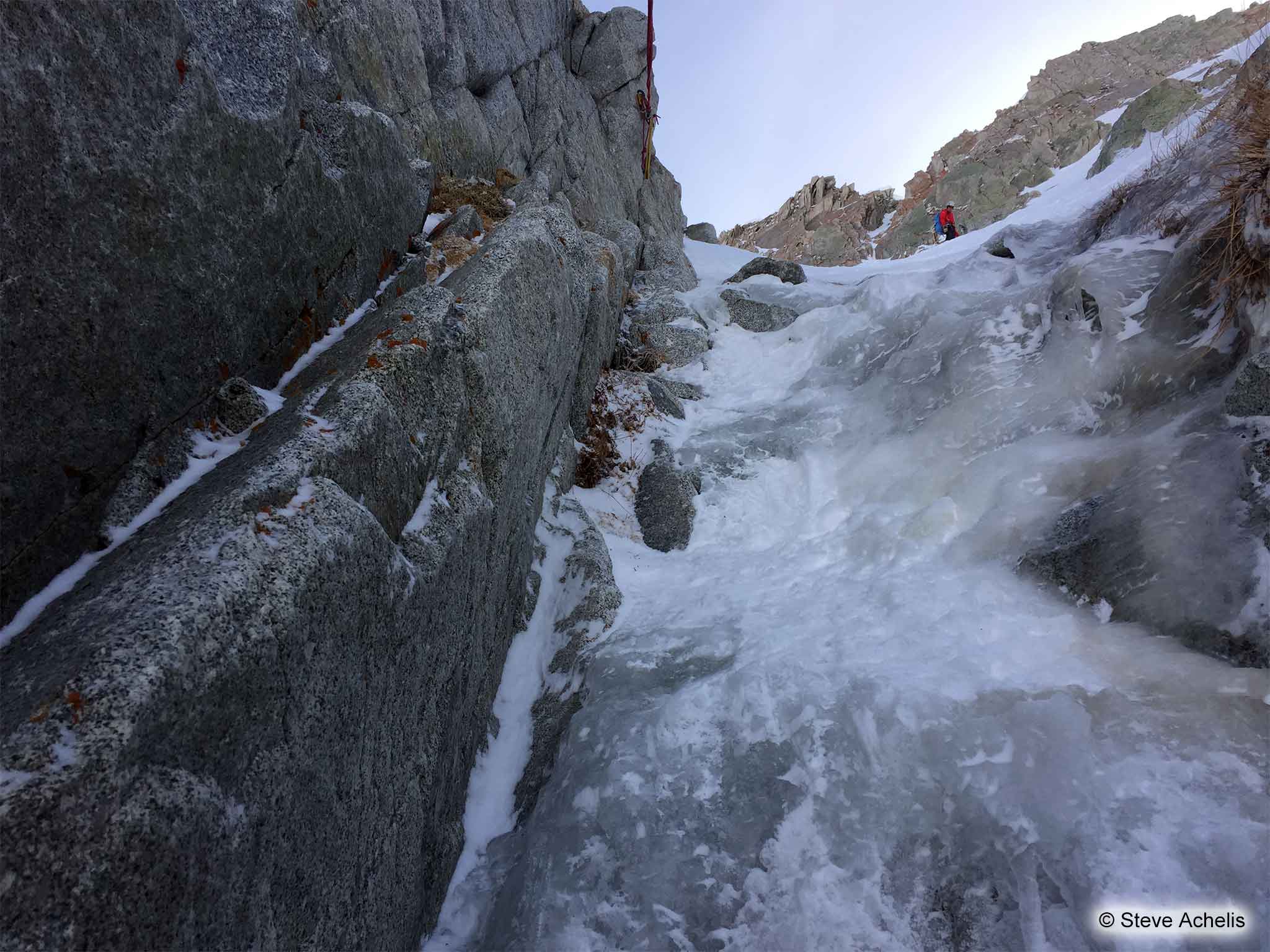
The crux is a narrow rock pinch that requires a 50-foot rappel. The challenge is getting to the bolt which is just above (and on the right side of) the dangerously slick crux. It'd be a whole lot easier, and a whole lot less exciting, if there was another bolt a little further up.
To avoid packing a heavy climbing rope, you might consider bringing 100 feet of 5 or 6 mm static cord. And the rappel is short enough that it's easy to rap with your skis on (tails first).
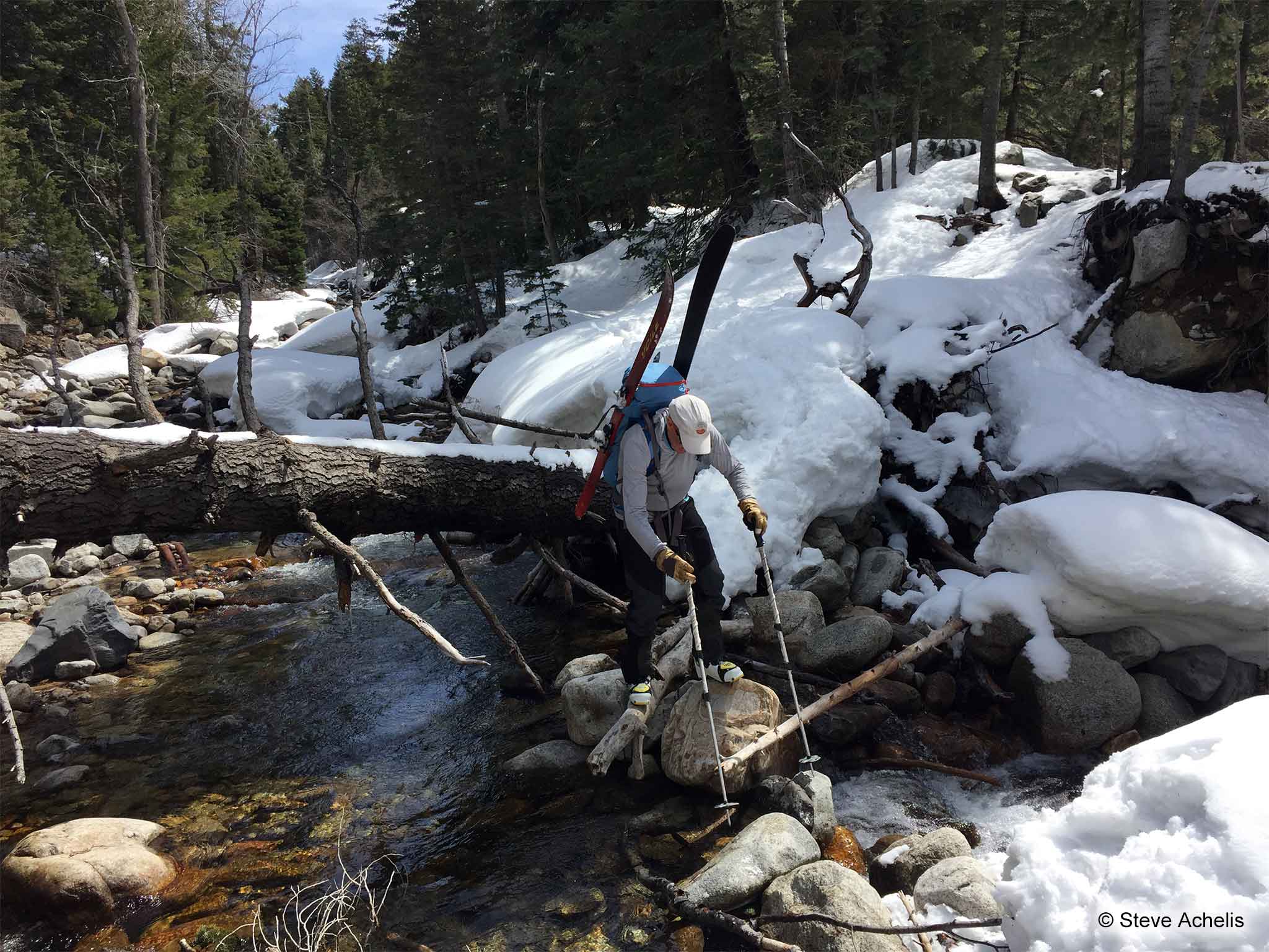
To return to your car, you can either ski back to the White Pine Trailhead (crossing Maybird Gulch) or descend Hogum, cross the creek, and hitch a ride back to the trailhead.
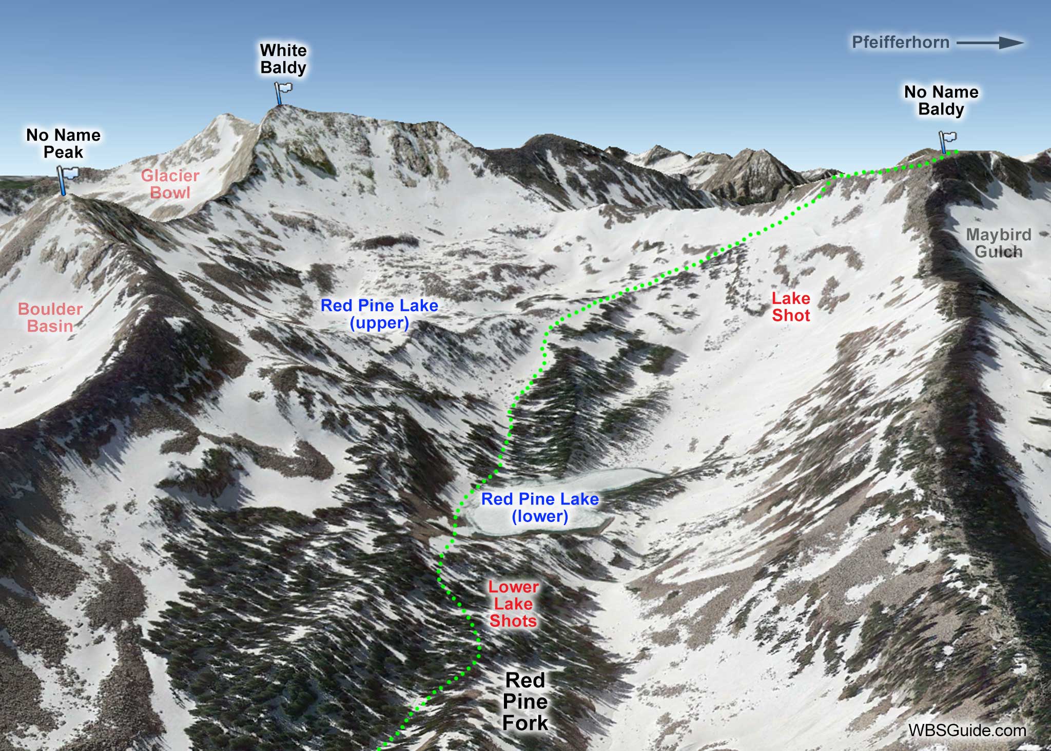
Follow the instructions on the Red Pine Fork page to get to the Upper Red Pine Lake. Then skin/boot up to No Name Baldy. From No Name Baldy, skin to the razor thin ridge at the top of Maybird Gulch. Cross that ridge and then boot up the final ridge to the summit of the Pfeifferhorn.


