


| Argenta | |
|---|---|
| Terrain | Slide Path (brush) |
| Location | 40.6310° / -111.6726° |
| Online Map | View on wbskiing.com |
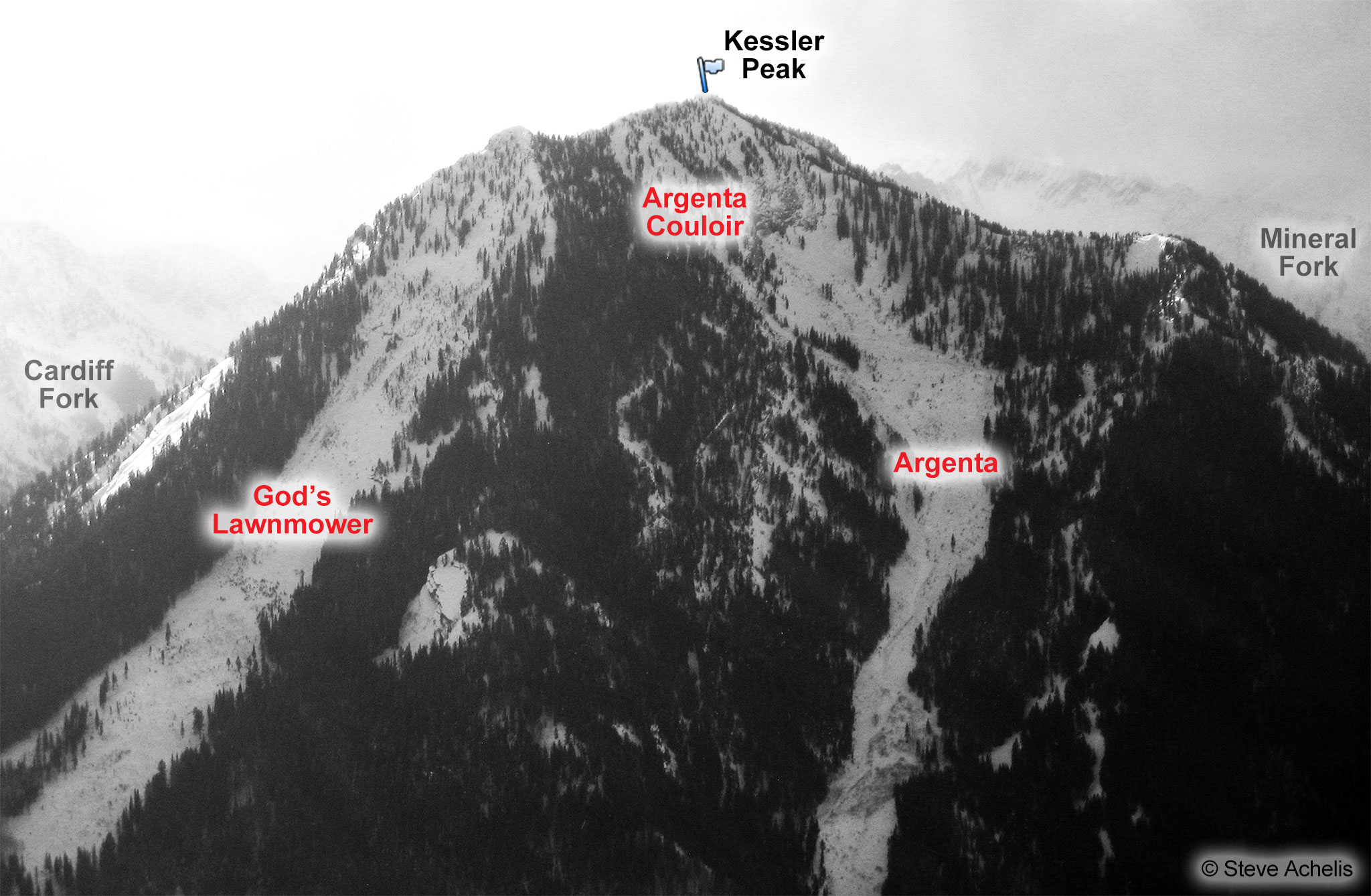
Argenta is a run on the north side of Kessler Peak. It is clearly visible on the right side of the Big Cottonwood Canyon highway, approximately 7 miles up the canyon. Massive avalanches on March 25, 1948 and January 26, 1996 ripped down the north side of Kessler, denuding the slope of trees and burying the highway.
Looking at Argenta from the road, it's easy to mistake the treeless avalanche path for a run at a ski area. And expectedly, Argenta's proximity to the road can result in so many skiers that moguls begin to develop on the lower section. Yet what you see from the road is only one-fourth of a run that drops 2,800 vertical feet (3,400 feet if you ski it from the top of Kessler) over more than a mile.
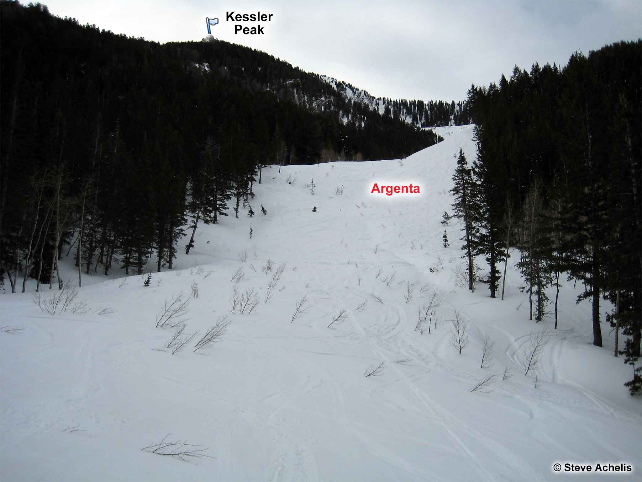
The lower section commonly has sparse snow coverage and always has protruding willow branches that can catch an unwary ski tip. It's time for another cataclysmic avalanche to flush out the brush. (The photo of lower Argenta, below, was taken in 2008—there is a lot more brush today.)
| Argenta from Argenta Trailhead | |
|---|---|
| Trailhead | Argenta Trailhead |
| Trailhead Elevation | 7'050' |
| Ascent Vertical | 2,800' |
| Skinning Distance | 1.25 miles |
| Online Map | View on wbskiing.com |
Park in the turnout on the right side of Big Cottonwood Canyon, 7.1 miles past the digital sign (and about 500 feet past the Argenta slide path). There's an information sign further up the turnout that explains the "Blind Miner of the Wasatch" that is worth a read.
A small road leads down to the creek from the west end of the turnout. Two huge, built-for-eternity, private property signs have been erected here to discourage people from using the private road. Let's hope they're not trying to stop a few environmentally innocuous skiers from accessing our Forest Service land.
Follow the skin track as it switchbacks up the sides of the Argenta slide path. When you reach the rock headwall after climbing 2,800 feet, you can turn around and ski Argenta or bear left or right to ascend either ridge to reach the Argenta summit. It'll probably take two to three hours to reach the headwall.
About the Name
The word "argent" refers to the color of silver ("white-ish") which is now appropriate given Argenta's white ribbon-like appearance.


